Unstable air will return northward to much of Missouri on Wednesday. This, coupled with a strong jet stream, will allow for the return of a severe thunderstorm threat.
It looks like storm initiation will occur rather early in the day, by noon or shortly after. (although one computer model develops the line even earlier)
The severity of these storms will depend greatly on when the storms develop and also on the northward advancement of a warm front which will lead the northward surge of the unstable air.
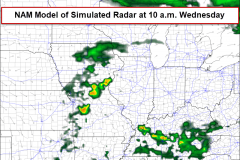
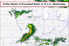
The two model difference are shown below. The NAM would be worse for much of the Ozarks as the storm initiation is delayed. This also implies enough time for the unstable air to lift north out ahead of the developing storms. The parameters for severe thunderstorms and tornadoes look a lot more favorable using this model.
All modes of severe storms would be possible tomorrow (strong winds, hail and tornadoes).
I’ll watch forecast position of these variables carefully today!


