The Ozarks were in severe weather outlook areas on Friday, Saturday and Sunday.

There were both isolated supercells and lines of severe storms on these days. The last one on Sunday set off the tornado warning sirens in Springfield and nearby areas.
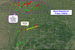
On Friday, the Ozarks remained fairly quiet while a wild and photogenic outbreak of tornadoes occurred in Nebraska and Iowa. The Ozarks did experience one supercell which tracked from southeast Kansas in Missouri north of Nevada producing a few tornado reports.
I decided for a local storm chase on Friday, targeting storms in southeast Kansas. My chase path had me on target to intercept this storm near Elsmore, KS but an unexpected road closure at Erie on Highway 59 north forced me to divert west and back, adding an extra 35 miles to the chase which I never recovered from. That’s how chasing goes sometimes!
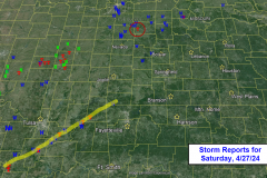
Saturday was also very active. The Ozarks were waiting on storms to develop out west and move into the area that evening and overnight which they did, One cell was pretty consistent as it tracked over Oklahoma toward southwest Missouri where it finally weakened. Another storm produced a tornado report west of Clinton, MO.
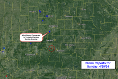
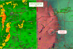
Sunday was debatable for organized severe weather but ended up giving the biggest scare to Springfield and surrounding areas! Storms organized by evening. While the air was only weakly unstable, the wind field was supportive of low level “spin-ups”. One such rotation produced some wind damage south of Clever and prompted a tornado warning. This warning persisted into portions of southeastern Springfield and Greene county and also to the east in Webster Co. before dissipating. A tornado was also reported south of Alpena, AR (west of Harrison).


