A NWS Survey team confirmed that an EF-1 tornado occurred southeast of Monett in northern Barry county and tracked northeast into southern Lawrence county before lifting southeast of Aurora.
The tornado was on the ground for around 10.5 miles.
Several trees were uprooted or snapped with damage to several outbuildings. A mobile home was flipped over and there was some damage to roofs. Power lines were down in Monett.
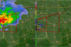
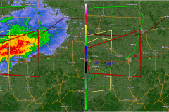
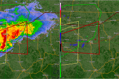
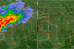
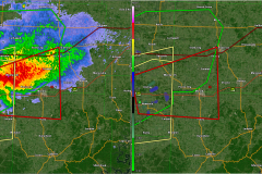
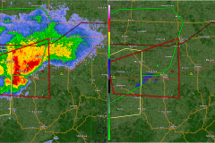
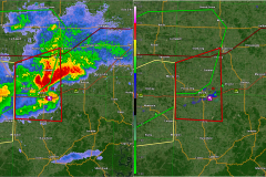
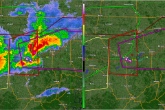
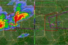
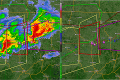
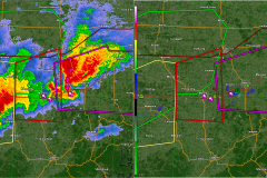
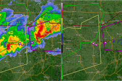
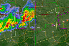
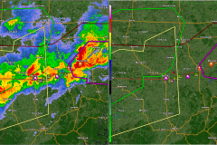
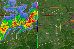
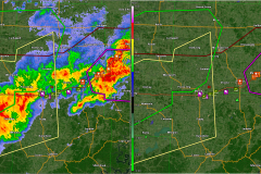
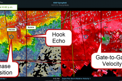
The radar images below show a broad circulation on a storm which entered southwest Missouri from Oklahoma and was tornado warned the entire time.
A definite tightening of the circulation occurred over Monett. The red polygons are the tornado warnings. Purple is used in cases where a tornado was actually spotted. The green triangle is a Tornado Vortex Signature (TVS). Tornado reports are the purple icons. Hail reports are the icon with the diameter of the hail in the icon. (2″ hail in Aurora!). Green icons are severe wind reports.
Below are videos from chaser John Hale who is local to the Ozarks (thanks John!) and Brian Emfinger (well known for drone imaging!).
I was chasing this storm coming in from behind after tracking a tornado-warned storm near Miami, Oklahoma.

